
Explore our latest work in Earth Science Informatics: AI-Powered Road Network Prediction with Satellite Imagery and GPS Trajectory – A novel method for enhanced road network mapping
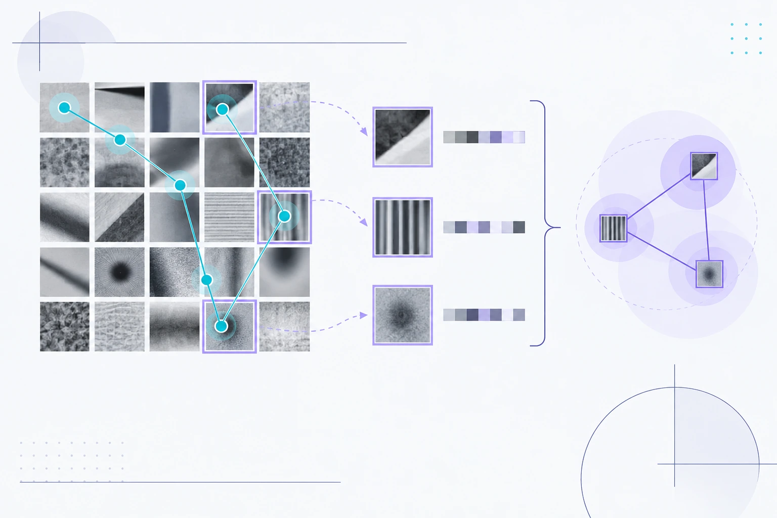
This study presents an innovative approach for automatic road detection with deep learning, employing fusion strategies to utilize both lower-resolution satellite imagery and GPS trajectory data, a concept never explored before.
paper link: link.springer.com